3D reconstruction
-
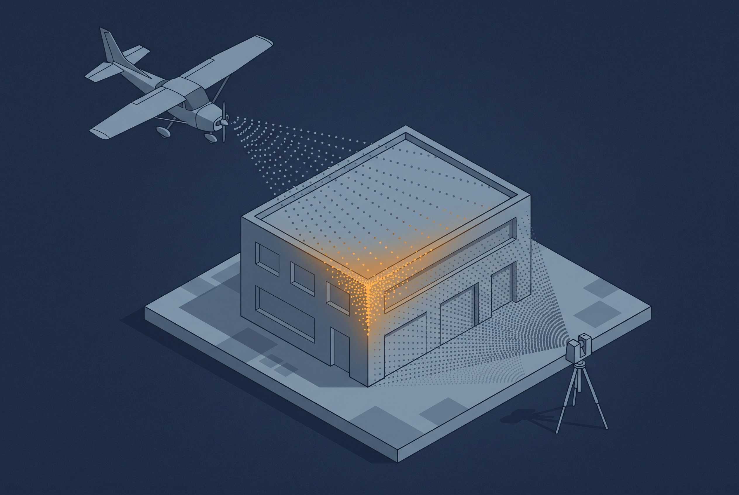
Combining Different Data Sources
A drone can see a rooftop that a tripod-mounted scanner never will, and a terrestrial scanner can resolve a facade at a precision no aerial platform can match. That is one reason people combine sensor sources. The other reason is just as important: LiDAR and imagery do not capture the same information about a surface…