-

3D Gaussian Splatting Explained
If you have worked in aerial surveying for any length of time, you have probably come across a Gaussian splat by now. Maybe it was a flythrough of a drone survey over a construction site, or a visualization of a city block captured from a manned aircraft. Whatever the context, the first reaction tends to…
-

A Closer Look at LAS Formats
LAS is the dominant format for storing lidar point clouds maintained as an open standard by the OGC. Like most formats that have been around long enough, it has meanwhile accumulated versions. The version number on a LAS file is not just a timestamp – it tells you what the file can and cannot represent.…
-

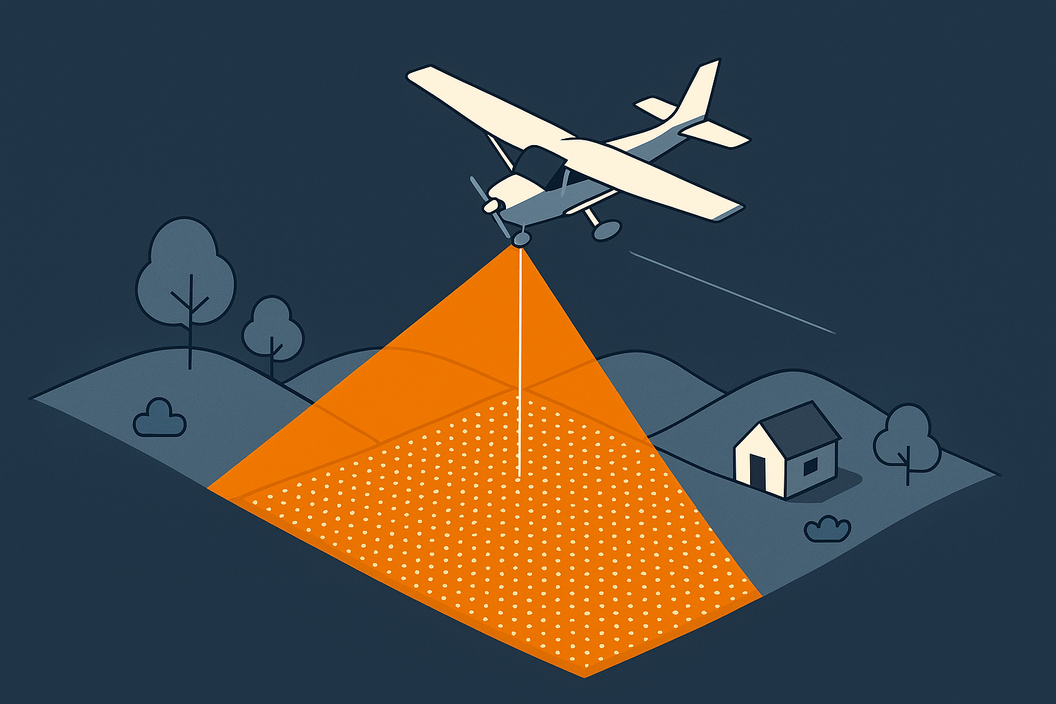
Measuring the Efficiency of Aerial Surveys
Aerial surveys are often discussed in terms of accuracy, point density or sensor choice. These factors matter, but they do not determine how long a project takes to complete or what the acquisition will cost. A major contributor to both duration and cost is the amount of flying required to execute the project. Operating an…
-

Blog Series: Parameters of Airborne LiDAR Survey
Follow this growing series of blog articles that breaks down the key parameters behind airborne LiDAR and explore how they connect and influence each other, shaping every survey.
-
Surveying Altitude
Working in survey projects, I learned quickly that survey altitude is more than a planning detail. It drives both cost and success. This article explains why it matters and how it shapes other LiDAR parameters.
-

Level of detail in 3D city models
Filip Biljecki goes into the details of how to describe the level of detail for city models. Make sure to read this phd theses to better define what you want (or need).