Sensors and Hardware
The instruments that capture geospatial data, and the systems that position them. Knowing what each sensor measures, and what it cannot, is the first step in judging what a dataset can support.
-

How Synthetic Aperture Radar Satellites Image the Earth
A LiDAR survey proposal for a cloudy region in Indonesia led to a simple question: what if the sensor did not care about the weather? This article explains how SAR satellites work, why they see through clouds, and where they are used today.
-
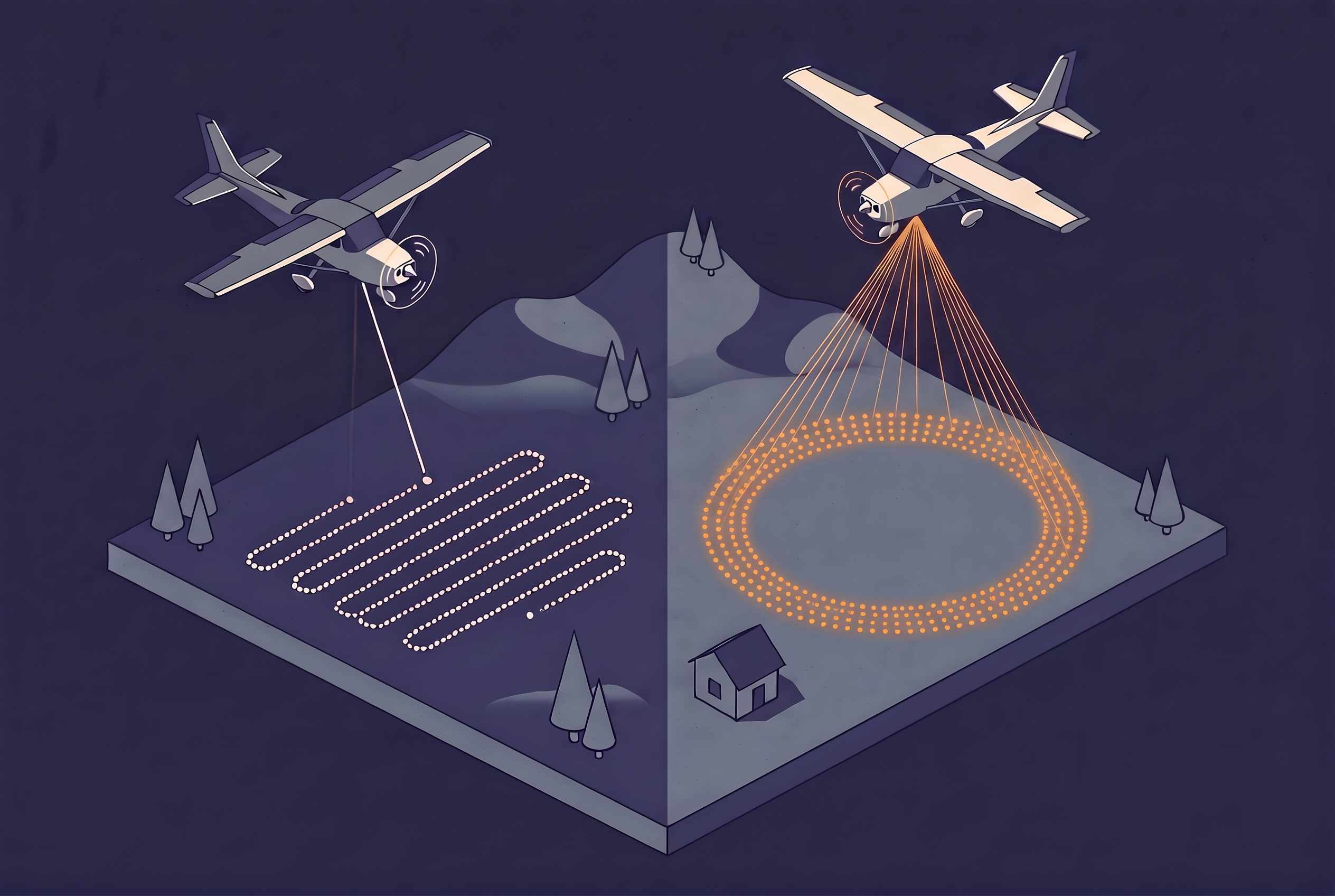
Single-Photon LiDAR and Where It Fits in Airborne Mapping
Single-photon LiDAR collects far more data per flight hour than linear mode, at the cost of precision and noise. Here is how it works and how far adoption has gone.
-
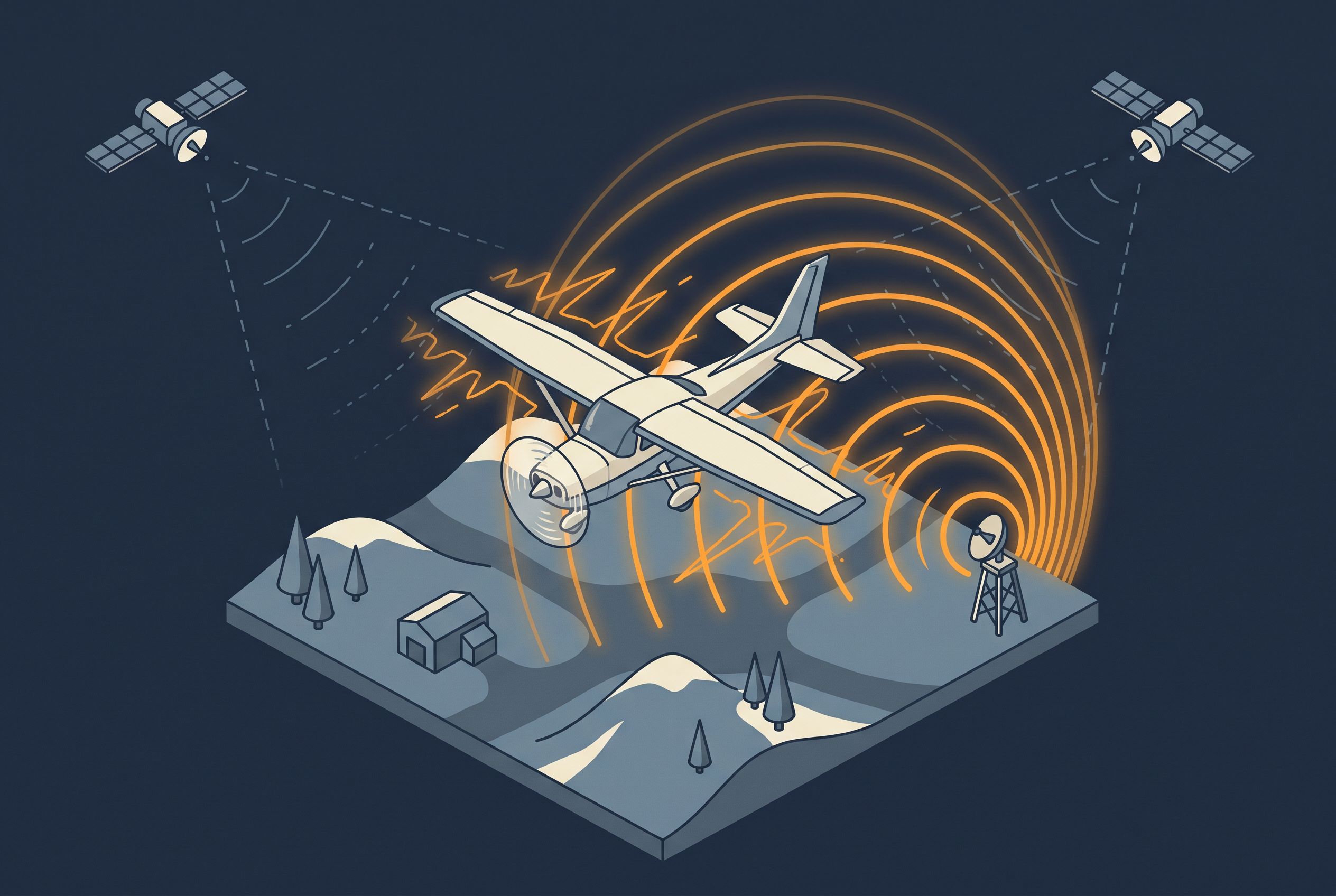
How GNSS Jamming and Spoofing Affect Aerial Surveys
Intentional satellite signal interference has already spoiled part of a national aerial survey season in Finland. This article explains jamming and spoofing, how to read the GPSJam map, what operators can do, and what ground stations and nationwide reference networks can and cannot add.
-

How Vegetation Shapes LiDAR Ground Returns
A survey can meet its point density and still produce a poor terrain model under vegetation. This article explains how a pulse finds the ground, why low undergrowth is harder than tall trees, and which survey choices change ground coverage.
-

GNSS and IMU Trajectory Quality
Calibration and strip matching can only be as accurate as the trajectory underneath them. This article looks at what actually determines that accuracy: satellite geometry, base stations versus PPP, and why IMU grade matters.
-
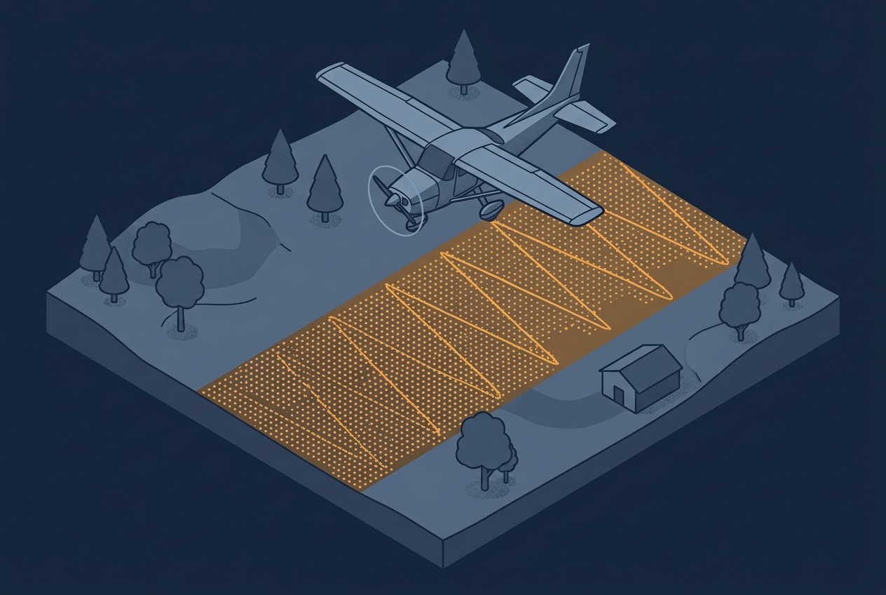
Understanding Scan Patterns
A project specification usually calls out a single number: 8 points per square meter, maybe 20 or even more. That number becomes the thing everyone plans around, quotes against, and checks in QA. Sometimes the spec is written as an average across the project area, sometimes as a minimum that has to be achieved in…
-

Blog Series: Parameters of Airborne LiDAR Survey
Follow this growing series of blog articles that breaks down the key parameters behind airborne LiDAR and explores how they connect and influence each other, shaping every survey.
-
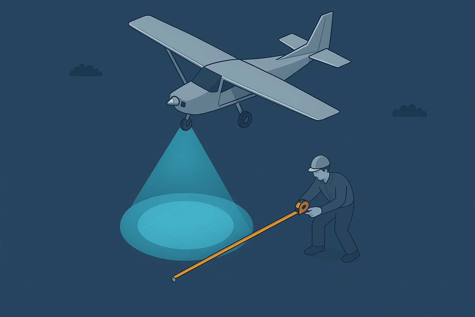
LiDAR Footprint Diameter
LiDAR points and pulses seem straightforward, but the returning signal represents far more. It reflects how the pulse interacts with objects within its footprint, and understanding that interaction is key to interpreting your results.
-

Point Density and Point Spacing
Point density feels obvious, yet the way LiDAR samples objects shapes what your data can support. Subtle gaps or clusters can change how you read the scene, or mean that smaller objects go unnoticed altogether.
-
Range Gate in LiDAR Sensors
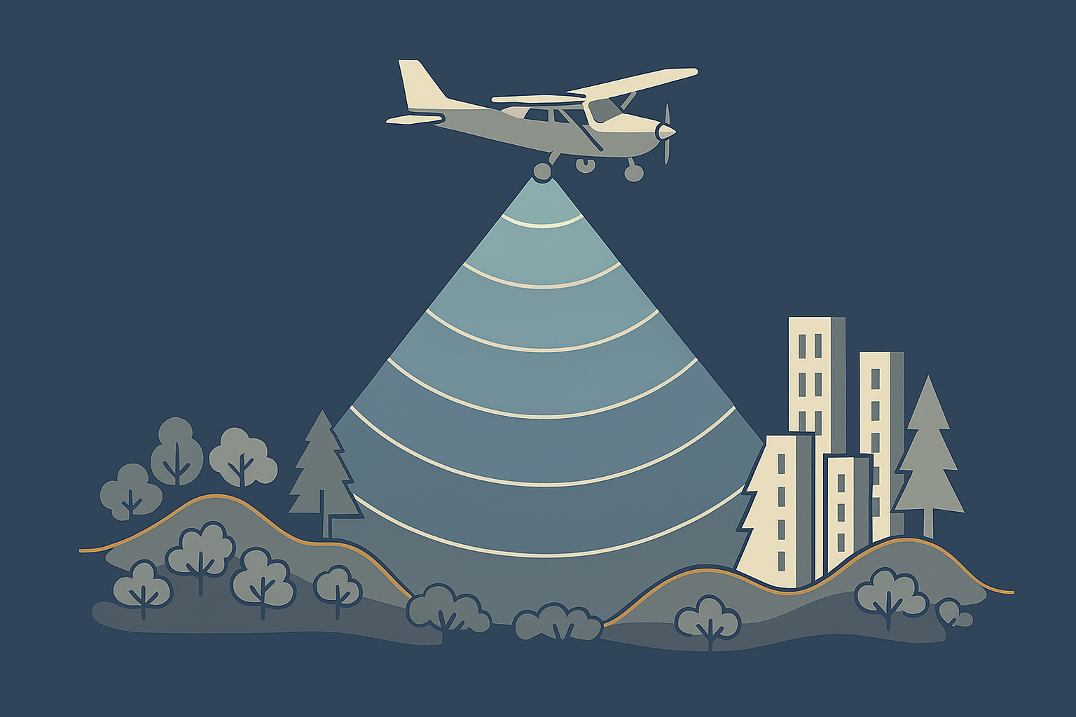
LiDAR range gates limit how far a sensor can measure before pulses overlap, creating ambiguities at high pulse rates and shaping how modern systems handle long‑distance returns.