Applications
Where geospatial data meets a real question. This section covers how captured data is modeled, visualized, and turned into decisions, so you can judge which newer methods apply to your own work.
-
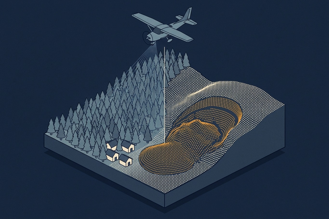
How LiDAR Terrain Models Shape Geohazard Maps
A new LiDAR-based landslide map brought 1,869 properties into a hazard overlay and took 1,702 out. This article explains how bare-earth terrain models reveal landslides under forest, where they can mislead, and what to ask before one becomes a hazard map.
-
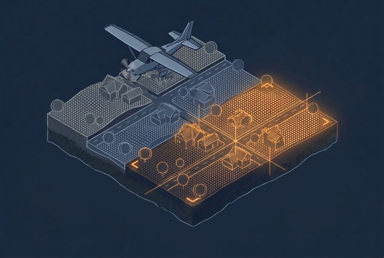
LiDAR Calibration and Strip Adjustment
Overlapping LiDAR strips rarely line up on their own. This article explains where the offsets come from, how project calibration and strip adjustment remove them, and what to ask about both when you evaluate a dataset.
-
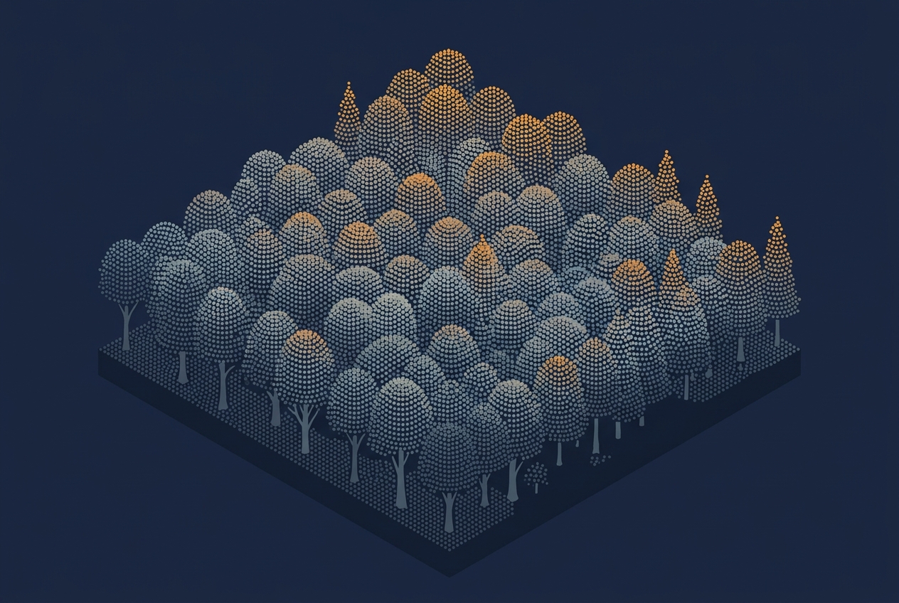
Watching Point Clouds Grow
Every year, aerial survey contractors fly LiDAR sensors over three and a half to four million hectares, part of a six-year cycle that eventually covers every corner of the country. That is a lot of area to scan. When I mention this to friends and colleagues, they often wonder what could possibly make it worth…
-
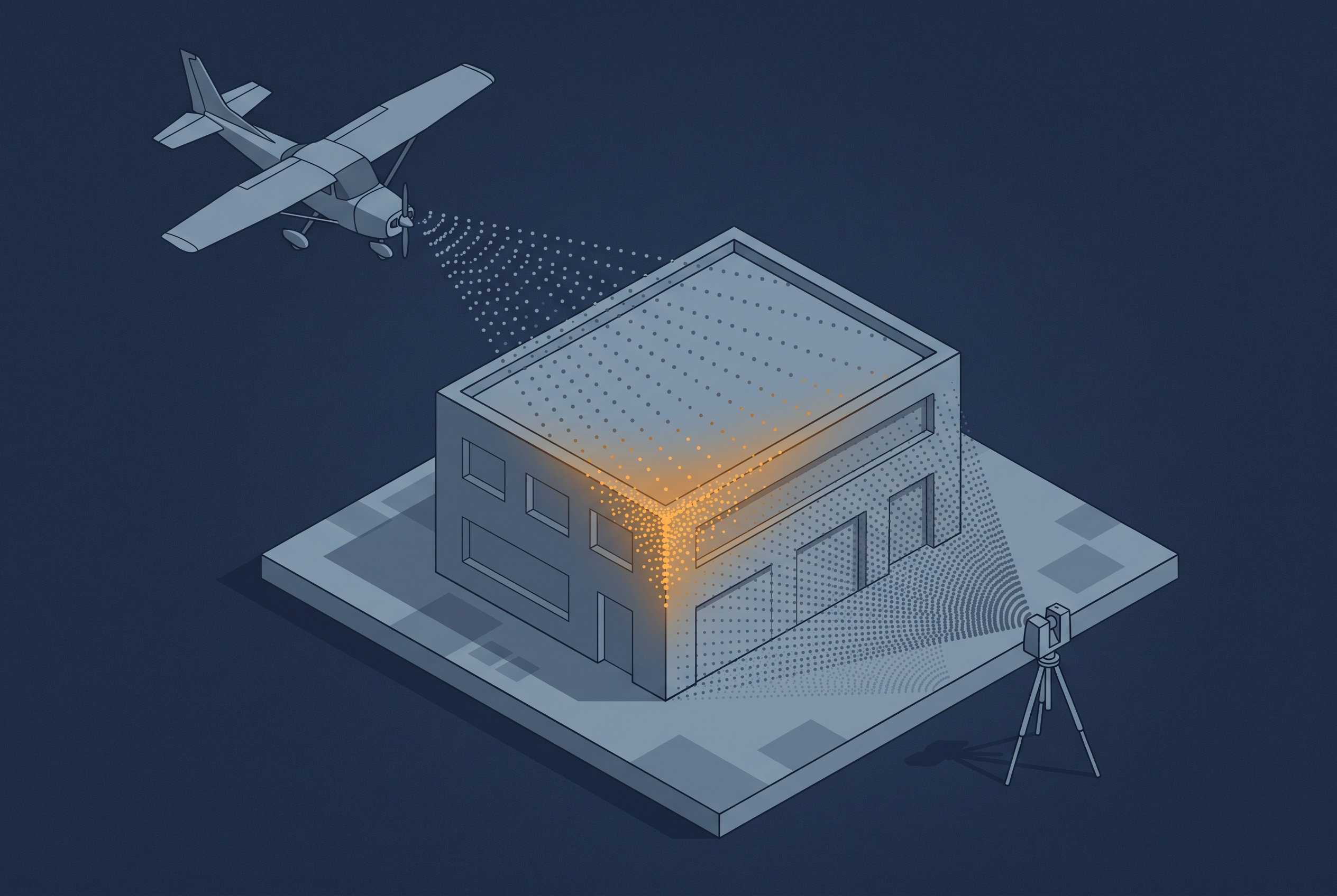
Combining Different Data Sources
A drone can see a rooftop that a tripod-mounted scanner never will, and a terrestrial scanner can resolve a facade at a precision no aerial platform can match. That is one reason people combine sensor sources. The other reason is just as important: LiDAR and imagery do not capture the same information about a surface…
-

3D Gaussian Splatting Explained
If you have worked in aerial surveying for any length of time, you have probably come across a Gaussian splat by now. Maybe it was a flythrough of a drone survey over a construction site, or a visualization of a city block captured from a manned aircraft. Whatever the context, the first reaction tends to…
-
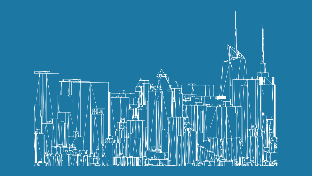
Level of Detail in 3D City Models
Filip Biljecki goes into the details of how to describe the level of detail for city models. Make sure to read this phd theses to better define what you want (or need).