Survey Planning
Decisions made before the aircraft leaves the ground. This section covers how flight and sensor settings connect to each other and to project cost, and how to plan a survey that delivers the data your application needs.
-
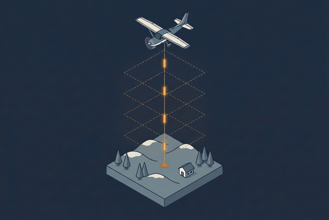
Pulse Repetition Frequency
Pulse repetition frequency sets how many points a LiDAR survey can collect, but a higher rate costs energy in every pulse and runs into the travel time of light. This article explains the trade-off and how multiple pulses in the air work around it.
-
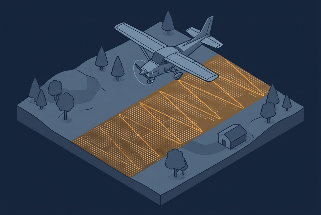
Understanding Scan Patterns
A project specification usually calls out a single number: 8 points per square meter, maybe 20 or even more. That number becomes the thing everyone plans around, quotes against, and checks in QA. Sometimes the spec is written as an average across the project area, sometimes as a minimum that has to be achieved in…
-
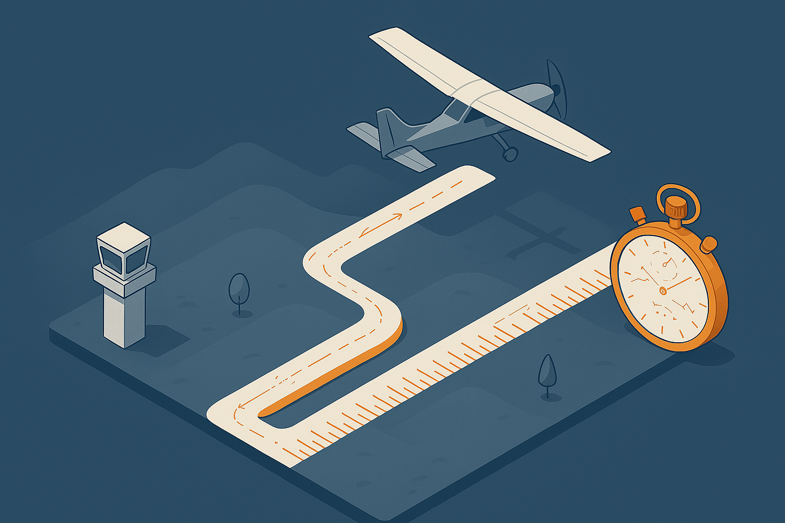
Measuring the Efficiency of Aerial Surveys
Aerial surveys are often discussed in terms of accuracy, point density or sensor choice. These factors matter, but they do not determine how long a project takes to complete or what the acquisition will cost. A major contributor to both duration and cost is the amount of flying required to execute the project. Operating an…
-
Blog Series: Parameters of Airborne LiDAR Survey
Follow this growing series of blog articles that breaks down the key parameters behind airborne LiDAR and explores how they connect and influence each other, shaping every survey.
-
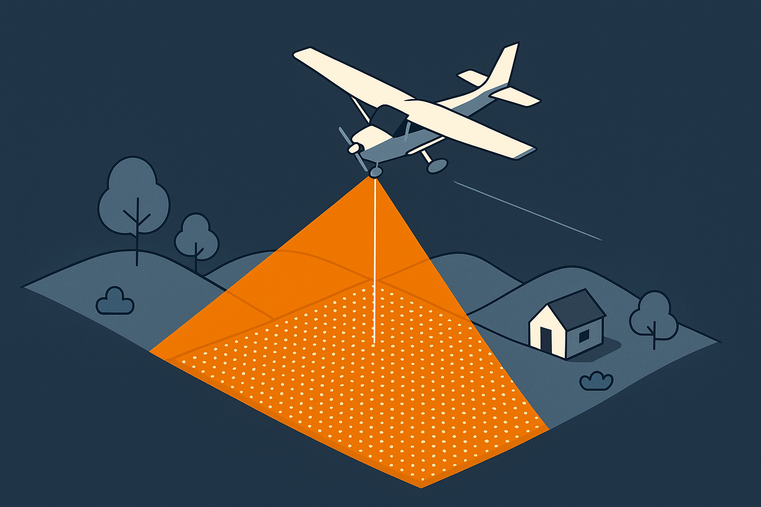
Surveying Altitude
Working in survey projects, I learned quickly that survey altitude is more than a planning detail. It drives both cost and success. This article explains why it matters and how it shapes other LiDAR parameters.
-

Fundamentals of Aircraft Speed
Flying speed affects project efficiency, yet external conditions can sometimes require adjustments to keep the work on track.
-
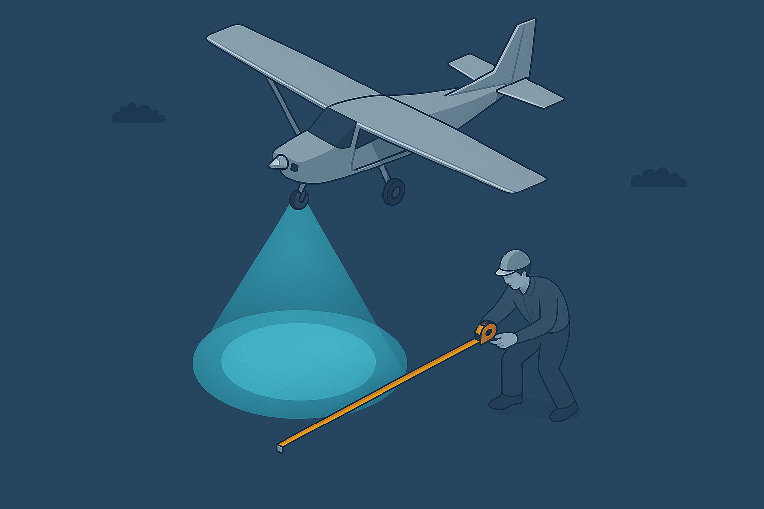
LiDAR Footprint Diameter
LiDAR points and pulses seem straightforward, but the returning signal represents far more. It reflects how the pulse interacts with objects within its footprint, and understanding that interaction is key to interpreting your results.
-

Point Density and Point Spacing
Point density feels obvious, yet the way LiDAR samples objects shapes what your data can support. Subtle gaps or clusters can change how you read the scene, or mean that smaller objects go unnoticed altogether.
-
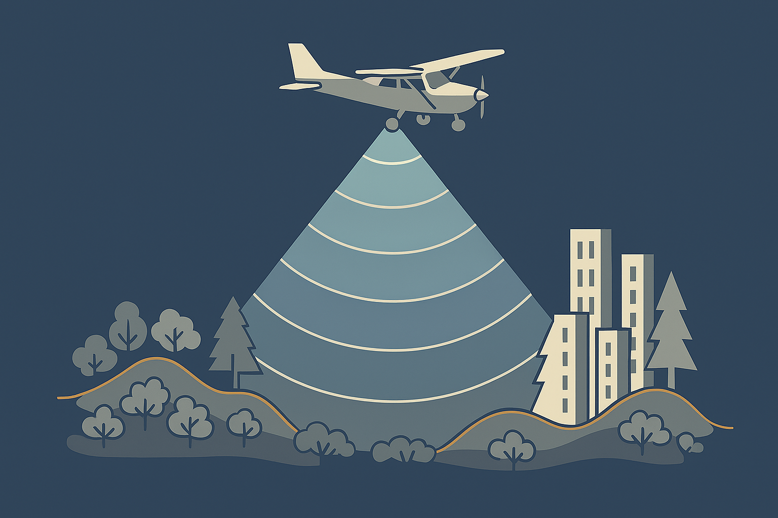
Range Gate in LiDAR Sensors
LiDAR range gates limit how far a sensor can measure before pulses overlap, creating ambiguities at high pulse rates and shaping how modern systems handle long‑distance returns.
-
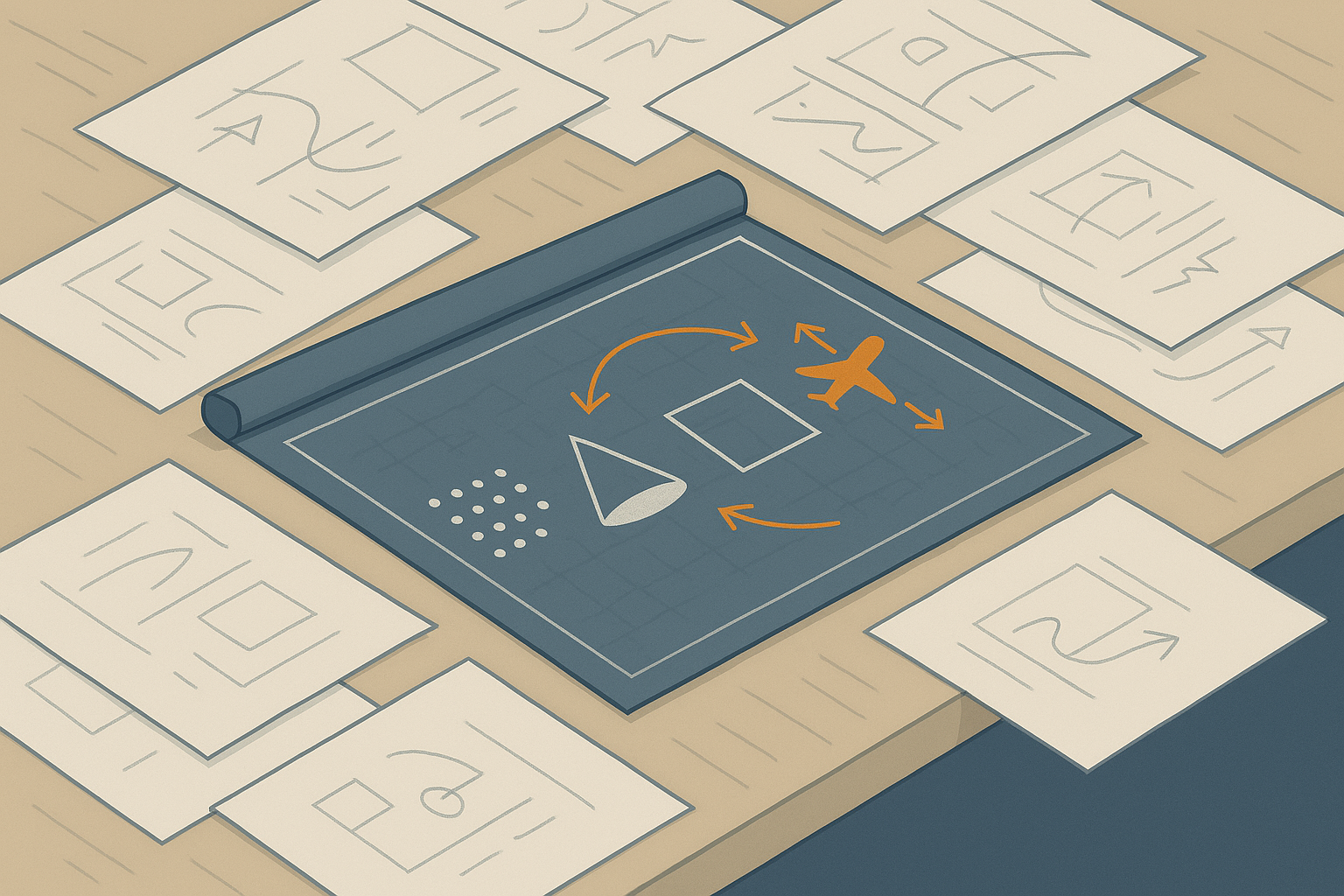
Four essential LiDAR parameters
LiDAR surveys rely on four simple parameters, yet each one shapes how efficiently you capture the world. Together they determine what your data will actually be useful for.