If you have worked in aerial surveying for any length of time, you have probably come across a Gaussian splat by now. Maybe it was a flythrough of a drone survey over a construction site, or a visualization of a city block captured from a manned aircraft. Whatever the context, the first reaction tends to be the same: this looks remarkable. The scenes are fluid, photorealistic, and navigable in real time in a way that feels qualitatively different from anything the field has produced before.
The natural follow-up question is: what’s the catch? Why don’t Gaussian splats simply replace the 3D products aerial surveyors already deliver?
The honest answer is that they might, in time, at least for some of those products. But to understand where they fit today, it helps to first understand what a Gaussian splat actually is and how one gets built.
Photogrammetry as a shared foundation
Photogrammetry has been the workhorse of aerial surveying for decades, from drone missions over construction sites to large-scale aerial campaigns covering entire cities or regions. Fly a mission, capture a set of overlapping images, and you get something you can work with: an orthophoto for planimetric analysis, a point cloud for volumetric work, or a textured mesh for 3D visualization. The outputs vary depending on the job, but they share a common property. They are explicit representations of observed geometry, grounded in real-world coordinates, that you can measure, query, and deliver to a client with a known accuracy statement.
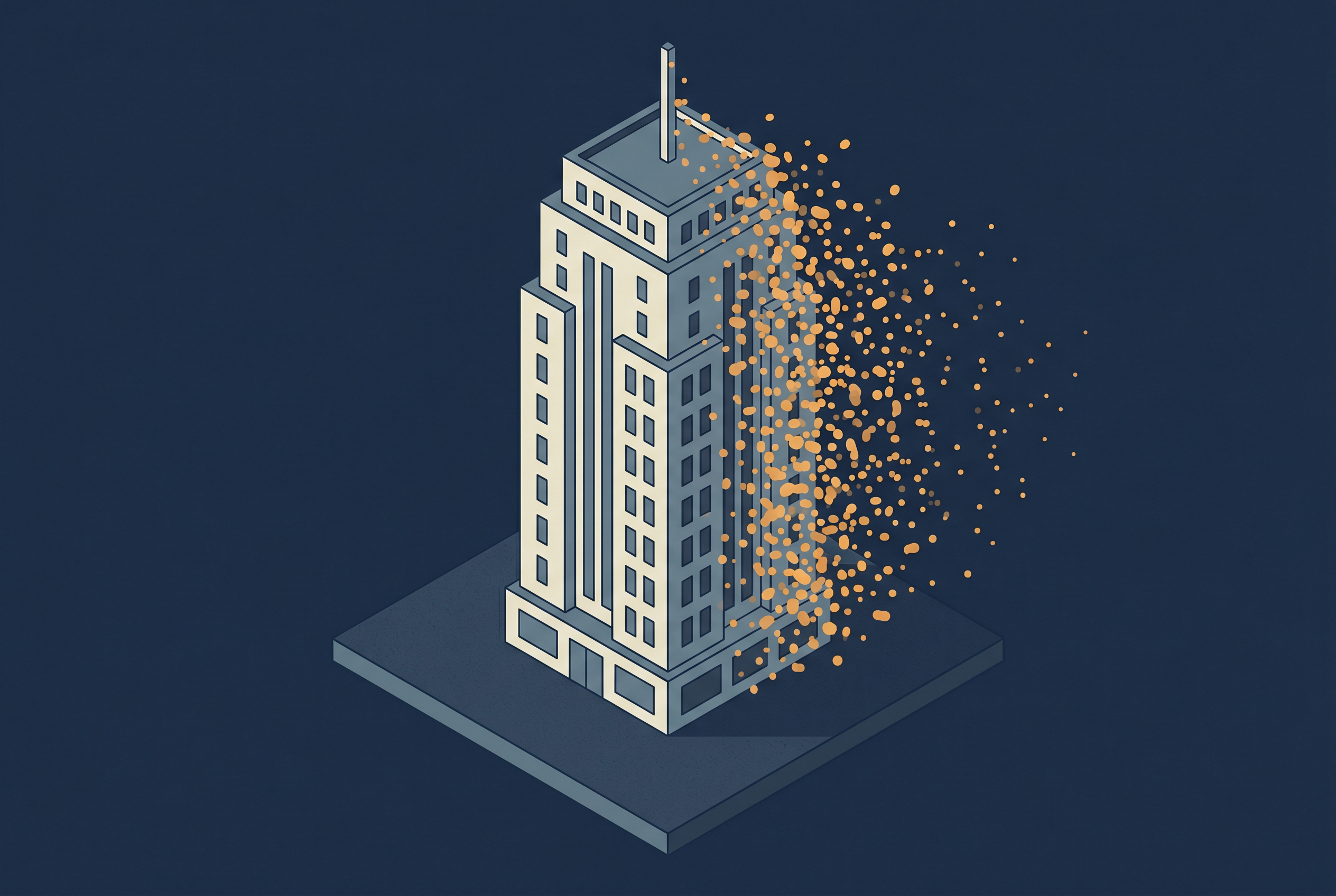
Gaussian splatting starts from the same place, a set of overlapping aerial images, but what it builds from them is a fundamentally different kind of object. The sparse point cloud that seeds the process is observation-based, but everything that follows is optimized toward visual completeness rather than geometric truth. When the algorithm adds primitives to fill in detail, it is not interpolating from measurements. It is asking: what needs to exist here for the scene to look right? The result can appear extraordinarily detailed and convincing, which is precisely what makes it easy to misjudge. A Gaussian splat can look more complete than a photogrammetric dataset of the same subject while being less reliable as a geometric record of it.
This distinction is worth carrying into the rest of the article. Visual completeness and measured completeness are not the same thing, and in Gaussian splatting, it is not always obvious where one ends and the other begins.
From single points to a scene of splats
Building a Gaussian splat starts in familiar territory. A set of overlapping images is processed through Structure from Motion, producing a sparse point cloud and a set of estimated camera positions. The data capture requirements for this will feel immediately recognizable to anyone who has planned an aerial mission: good image overlap, consistent exposure, and coverage from multiple angles. Whether you are flying a small drone over a single site or a manned aircraft over a large area, the fundamentals of good photographic capture apply equally here.
From here the pipeline diverges from your traditional workflows. Each point becomes the seed for a Gaussian primitive, the individual building block of the scene. A primitive is a small, semi-transparent ellipsoid floating in 3D space. Each primitive has a position, a shape, an opacity, and a color that shifts depending on the angle you view it from.
That last property is worth pausing on. The color of a primitive is not fixed. It is encoded using a mathematical construct called spherical harmonics, which allows each one to appear differently depending on the viewing direction. This is how Gaussian splats achieve their characteristic photorealism: the subtle variation in how surfaces look as you move around them is baked into each individual primitive.
The scene emerges from the collective behavior of millions of these primitives, overlapping and compositing together. That collection as a whole is what practitioners refer to as a Gaussian splat. There is no surface being drawn. The appearance of a surface arises from the accumulation of many semi-transparent blobs viewed from a particular direction.
Filling the gaps for maximum detail
To achieve more detail, the scene then goes through an iterative refinement process:
- The current primitives are rendered from one of the original camera positions and compared to the actual image captured from that position.
- The difference is measured, and the primitives are adjusted to make the two match better.
- To achieve higher fidelity, the algorithm adds primitives where more detail is needed and prunes them where they are redundant.
This cycle repeats thousands of times across all input images until an acceptable match has been achieved.
What comes out is a large collection of calibrated Gaussian splat primitives that reproduce the appearance of the original scene from any viewpoint within the captured range.
Have a look yourself
The best way to understand what a finished Gaussian splat actually feels like is to navigate one yourself.
- Luma AI hosts publicly navigable Gaussian splat scenes, some of which are large outdoor captures that would resonate with a surveying audience.
- Polycam has a public gallery with aerial and architectural captures.
- Esri’s Gaussian Splat Explorer highlights large-scale Gaussian Splats scenes produced with their ArcGIS Reality tools.
Knowing when a Gaussian splat is the right tool
The rendering speed and visual quality of a well-constructed Gaussian splat are unlike anything traditional photogrammetric outputs can match. Navigating a splat scene feels instant and fluid, which makes it a compelling tool for situations where communicating spatial information matters as much as measuring it.
Gaussian splats also handle things that aerial photogrammetry traditionally struggles with. Complex vegetation, fine structural details like cables and railings, and surfaces with low visual contrast or transparent materials are all areas where classic 3D meshes show artefacts or lose definition. These are the areas where Gaussian splats really shine.
Use Gaussian splats when:
- Presenting a survey area to clients or stakeholders who need to understand a site rather than measure it
- Communicating complex terrain or infrastructure in planning, public engagement, or reporting contexts
- Capturing subjects where mesh-based reconstruction normally struggles: dense vegetation, reflective surfaces, fine structural details like cables and railings
- Creating immersive walkthroughs or remote site reviews where visual experience matters most
- Complementing existing survey deliverables with a photorealistic visual layer
Use other geospatial data when:
- Extracting measurements, volumes, or distances from the model (point cloud or mesh)
- Delivering a georeferenced survey product with a formal accuracy statement (point cloud or raster data with ground control)
- Running simulations involving airflow, water movement, or structural analysis that require solid, watertight geometry (3D models or mesh)
- Integrating the output into a GIS environment for spatial queries or analysis (true orthophoto or point cloud)
It is worth emphasizing that this is a snapshot of a fast-moving field. Work is already underway to enable more analytical capabilities, improving geometric accuracy, as well as integrating this new type of geospatial data closer into existing GIS environments.
Adding Gaussian splats to your existing toolkit
The most useful frame for thinking about Gaussian splatting in an aerial surveying context is not as a replacement for existing methods and products, but as a visual layer that can sit alongside them. A Gaussian splat built from the same imagery that produced your orthophoto and point cloud gives you the visual richness of an immersive scene on top of the spatial reliability of your calibrated survey data. At the scale of a single construction site or an entire urban area, these representations complement each other in ways that neither achieves alone.
The technology is young and the boundary between what it can and cannot do for professional surveying work is likely to shift. But the ability to combine Gaussian splats with the data types you already produce is available today, and for the right deliverable, worth exploring sooner rather than later.
Further reading
- 3D Gaussian Splatting for Real-Time Radiance Field Rendering — Kerbl et al.
The original paper, for readers who want the primary source - Introduction to 3D Gaussian Splatting- Hugging Face
For readers who want to go deeper into how Gaussian splatting works at a technical level. - The Differences Between Photogrammetry, NeRF and Gaussian Splatting — Synima
Useful article for readers who want to understand where Gaussian Splatting sits relative to other methods - 3 Key Benefits of Gaussian Splat Layers – Esri
Top use cases for Gaussian Splats as presented by Esri’s 3D layer team.