Acquisition Strategy
How often an area is captured, with which sensors, and how repeated surveys fit together over the years. These articles look at the decisions above a single flight, from national repeat cycles to combining sources with different update rates.
-
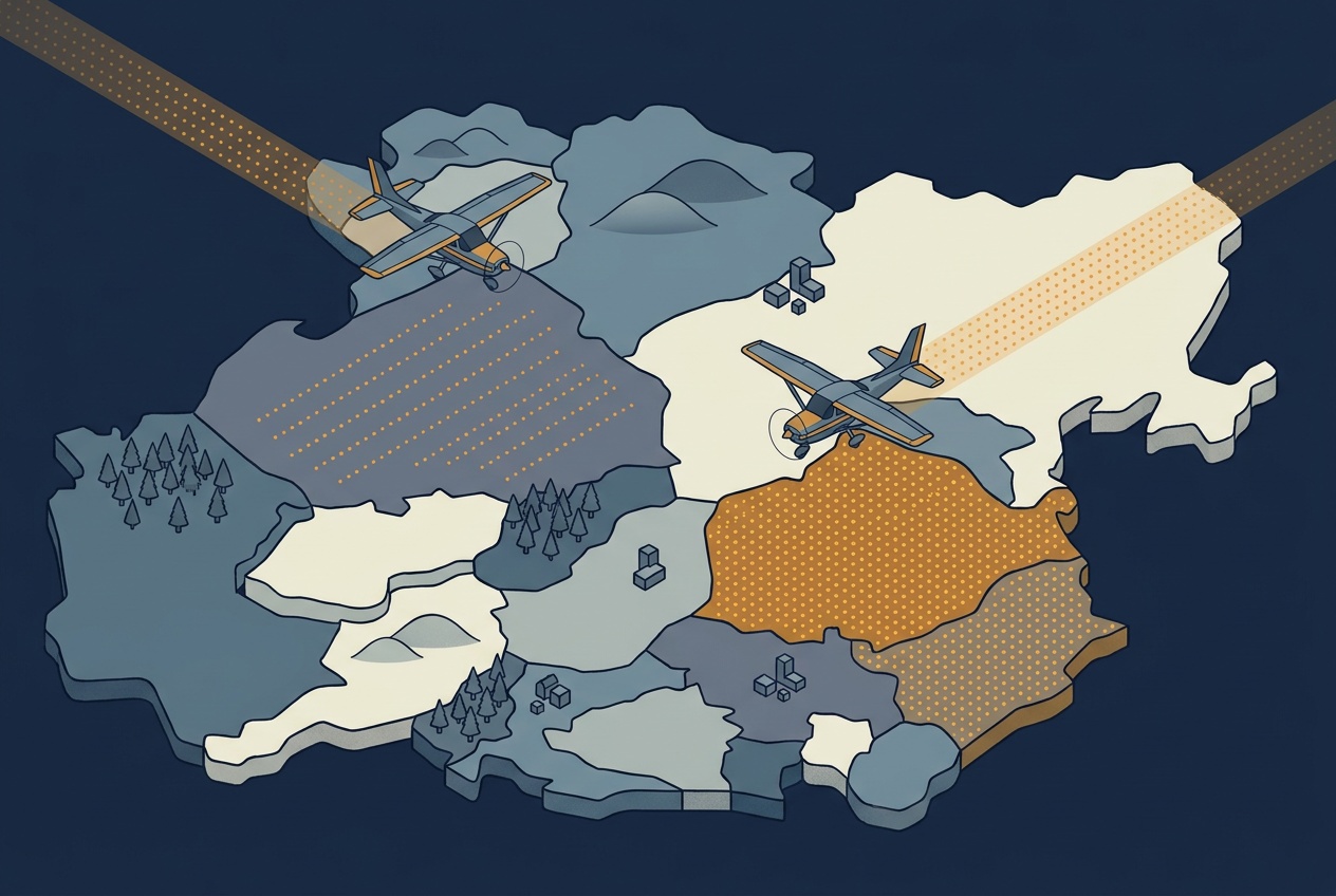
A Closer Look at Europe’s National LiDAR Programs
Denmark has flown its whole territory with LiDAR three times since 2007, each pass denser than the last. An interactive chart of fourteen national programs across Europe shows the same pattern: long-running, and getting denser with every cycle.
-
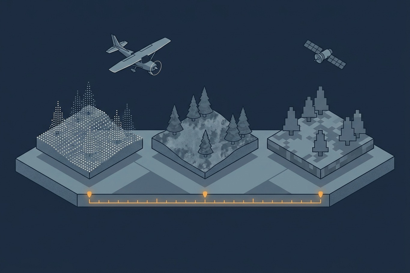
How Temporal Resolution Shapes Geospatial Data
A dataset can be detailed and still out of date. This article explains temporal resolution, why it trades off against spatial detail, and how Sweden combines laser, aerial image, and satellite cycles to keep its forest maps current.