-

How LiDAR Point Density Is Measured
A point cloud can pass or fail a density requirement depending on how the density is measured. This article compares the common methods, explains why ASPRS now recommends Voronoi polygons, and shows what that means for planning, testing, and delivering data.
-

A Closer Look at Europe’s National LiDAR Programs
Denmark has flown its whole territory with LiDAR three times since 2007, each pass denser than the last. An interactive chart of fourteen national programs across Europe shows the same pattern: long-running, and getting denser with every cycle.
-

Ellipsoidal and Orthometric Heights in LiDAR Data
A LiDAR height is always a height above something. This article explains the ellipsoid, the geoid, and national height systems, how a point gets its elevation, how height errors show up in a delivery, and what to check before you trust the numbers.
-
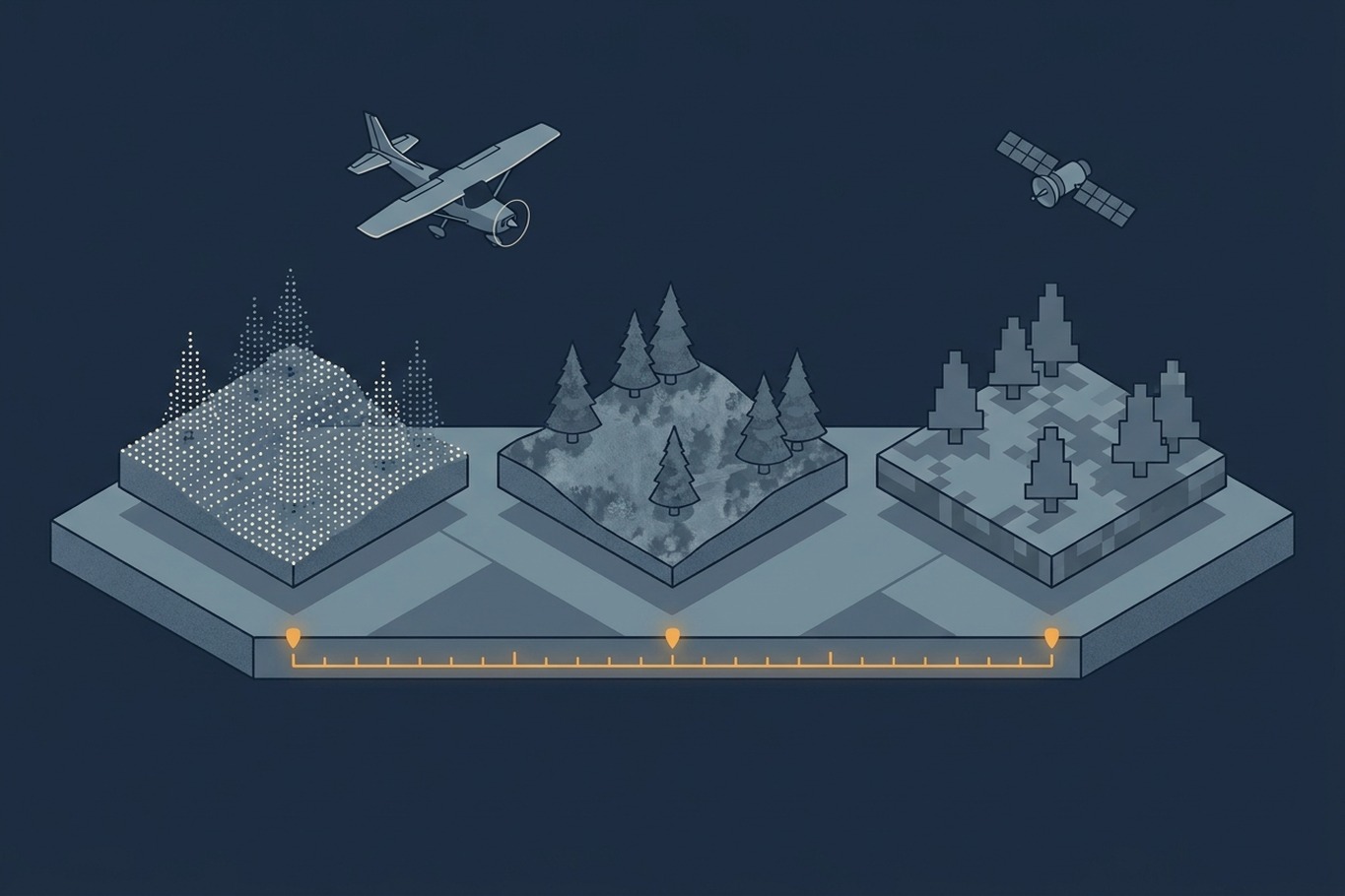
How Temporal Resolution Shapes Geospatial Data
A dataset can be detailed and still out of date. This article explains temporal resolution, why it trades off against spatial detail, and how Sweden combines laser, aerial image, and satellite cycles to keep its forest maps current.
-

GNSS and IMU Trajectory Quality
Calibration and strip matching can only be as accurate as the trajectory underneath them. This article looks at what actually determines that accuracy: satellite geometry, base stations versus PPP, and why IMU grade matters.
-

How LiDAR Terrain Models Shape Geohazard Maps
A new LiDAR-based landslide map brought 1,869 properties into a hazard overlay and took 1,702 out. This article explains how bare-earth terrain models reveal landslides under forest, where they can mislead, and what to ask before one becomes a hazard map.