GNSS
Satellite positioning in airborne surveys. These articles cover how GNSS positions the aircraft, what limits its accuracy, and why positioning quality decides whether your data lands in the right place.
-
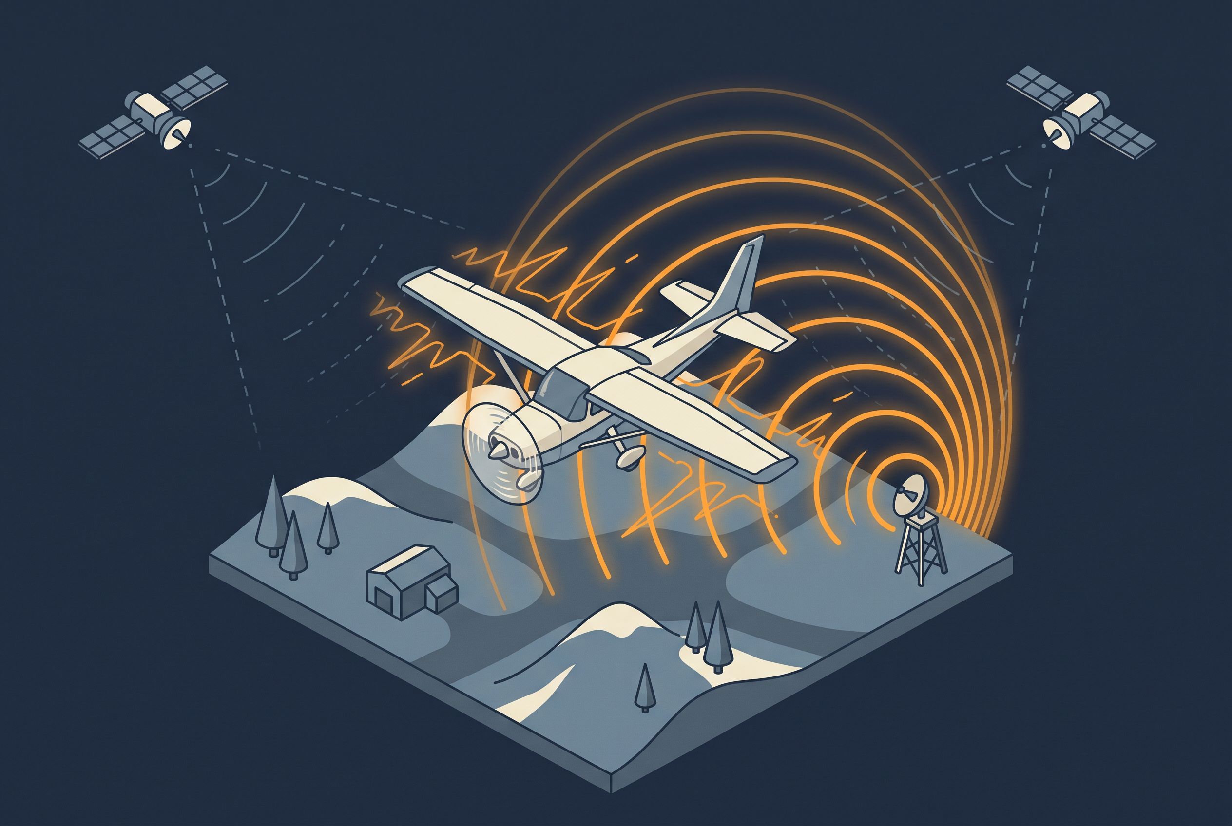
How GNSS Jamming and Spoofing Affect Aerial Surveys
Intentional satellite signal interference has already spoiled part of a national aerial survey season in Finland. This article explains jamming and spoofing, how to read the GPSJam map, what operators can do, and what ground stations and nationwide reference networks can and cannot add.
-
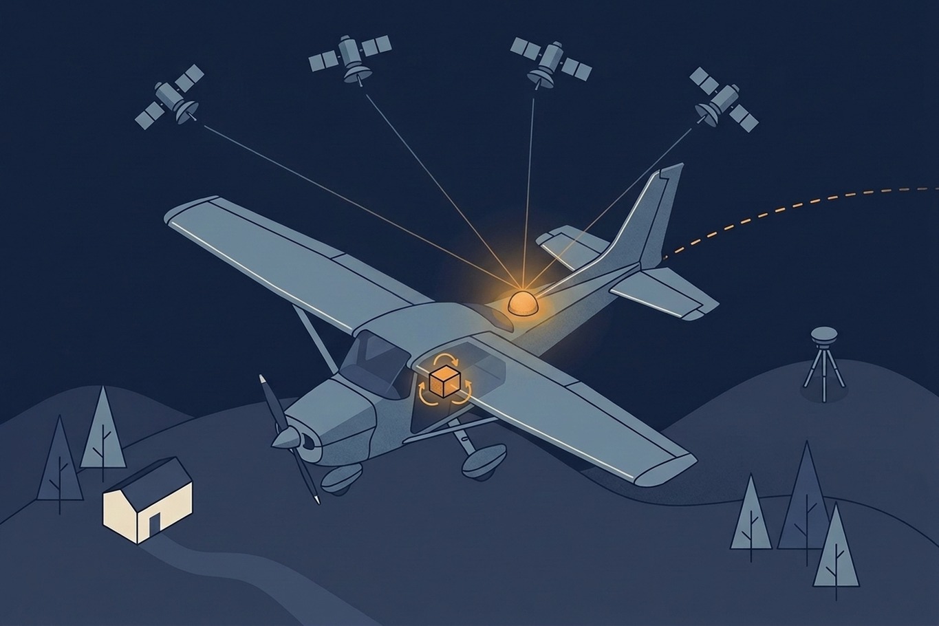
GNSS and IMU Trajectory Quality
Calibration and strip matching can only be as accurate as the trajectory underneath them. This article looks at what actually determines that accuracy: satellite geometry, base stations versus PPP, and why IMU grade matters.