Lidar
-

Blog Series: Parameters of Airborne LiDAR Survey
Follow this growing series of blog articles that breaks down the key parameters behind airborne LiDAR and explore how they connect and influence each other, shaping every survey.
-
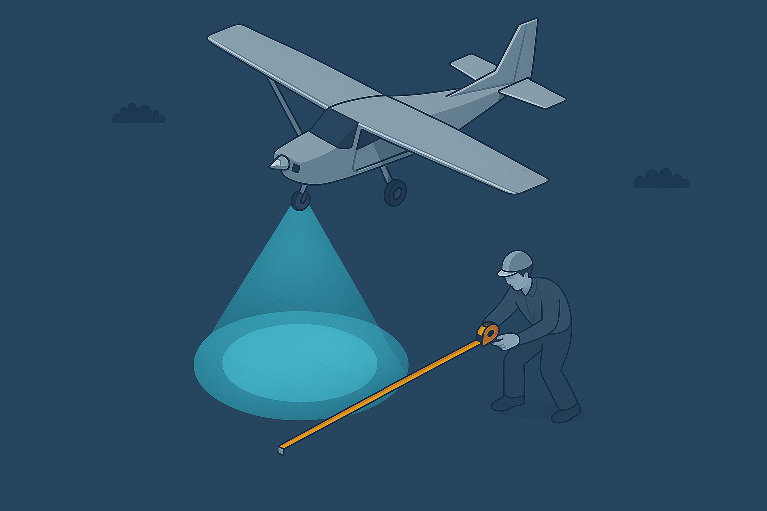
LiDAR Footprint Diameter
LiDAR points and pulses seem straightforward, but the returning signal represents far more. It reflects how the pulse interacts with objects within its footprint, and understanding that interaction is key to interpreting your results.
-

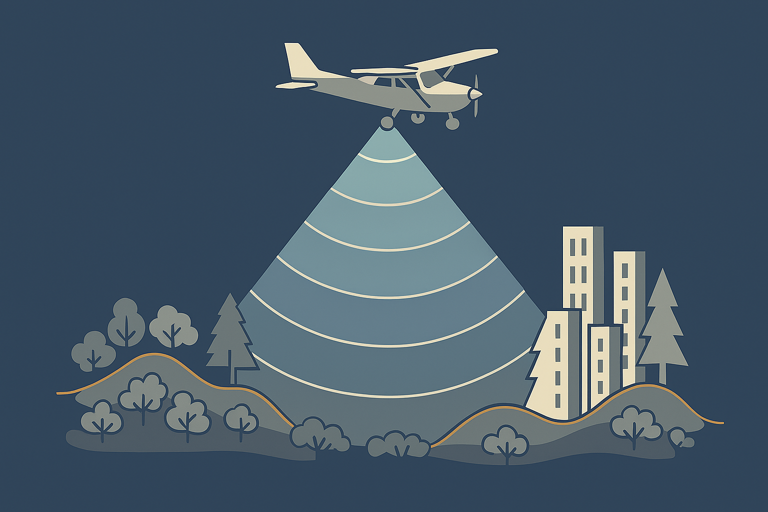
Point Density and Point Spacing
Point density feels obvious, yet the way LiDAR samples objects shapes what your data can support. Subtle gaps or clusters can change how you read the scene, or mean that smaller objects go unnoticed altogether.
-
What is range gate and how do LiDAR sensor manufacturer deal with it?
LiDAR range gates limit how far a sensor can measure before pulses overlap, creating ambiguities at high pulse rates and shaping how modern systems handle long‑distance returns.
-

Four essential LiDAR parameters
LiDAR surveys rely on four simple parameters, yet each one shapes how efficiently you capture the world. Together they determine what your data will actually be useful for.
-

An Introduction to LiDAR
LiDAR has grown rapidly, and I’ve seen how powerful it becomes once you understand how it works and where its limitations lie. In this article I break down those fundamentals.