accuracy and quality
-
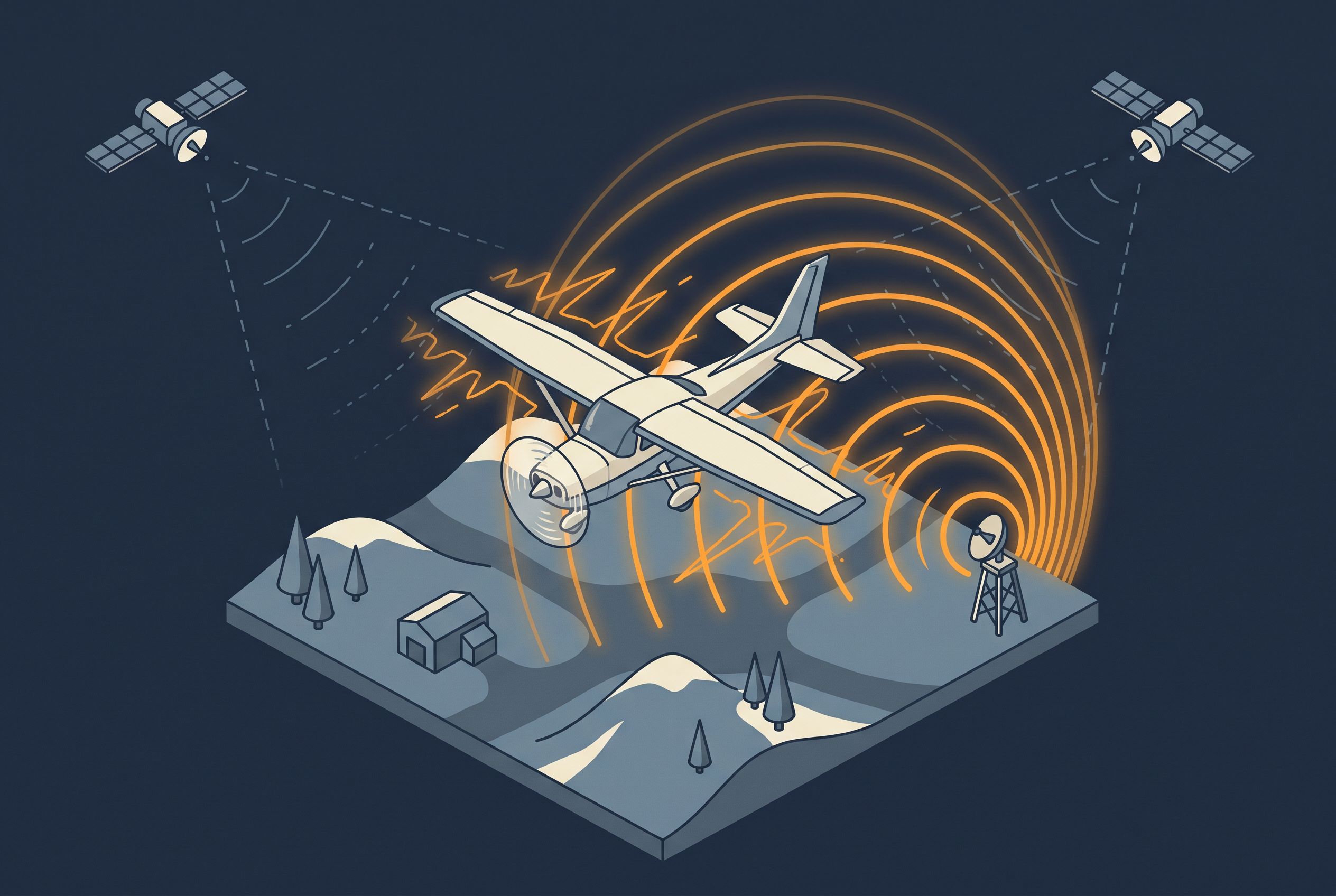
How GNSS Jamming and Spoofing Affect Aerial Surveys
Intentional satellite signal interference has already spoiled part of a national aerial survey season in Finland. This article explains jamming and spoofing, how to read the GPSJam map, what operators can do, and what ground stations and nationwide reference networks can and cannot add.
-

How Vegetation Shapes LiDAR Ground Returns
A survey can meet its point density and still produce a poor terrain model under vegetation. This article explains how a pulse finds the ground, why low undergrowth is harder than tall trees, and which survey choices change ground coverage.
-

How LiDAR Point Density Is Measured
A point cloud can pass or fail a density requirement depending on how the density is measured. This article compares the common methods, explains why ASPRS now recommends Voronoi polygons, and shows what that means for planning, testing, and delivering data.
-

Ellipsoidal and Orthometric Heights in LiDAR Data
A LiDAR height is always a height above something. This article explains the ellipsoid, the geoid, and national height systems, how a point gets its elevation, how height errors show up in a delivery, and what to check before you trust the numbers.
-

GNSS and IMU Trajectory Quality
Calibration and strip matching can only be as accurate as the trajectory underneath them. This article looks at what actually determines that accuracy: satellite geometry, base stations versus PPP, and why IMU grade matters.