lidar
-
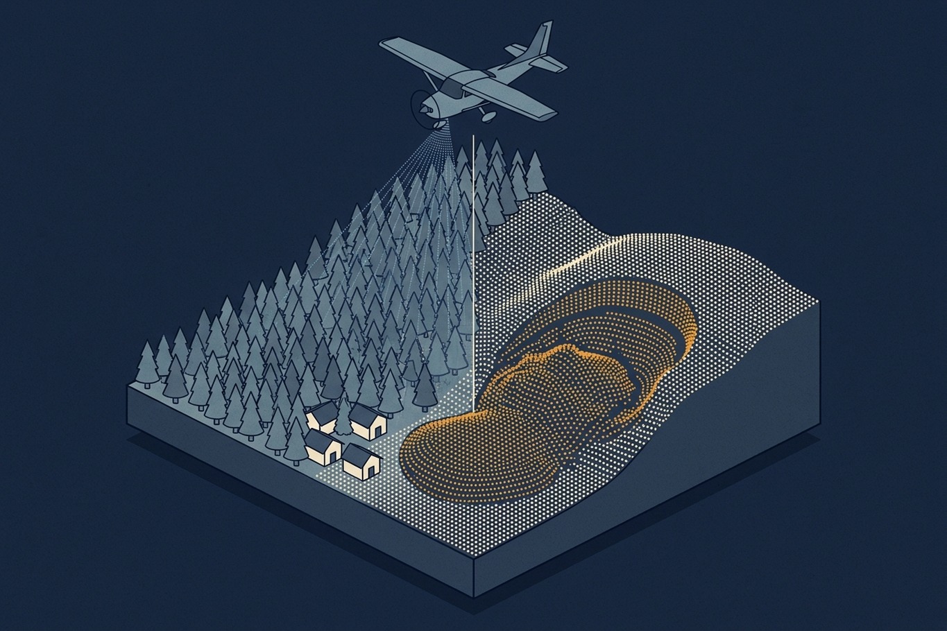
How LiDAR Terrain Models Shape Geohazard Maps
A new LiDAR-based landslide map brought 1,869 properties into a hazard overlay and took 1,702 out. This article explains how bare-earth terrain models reveal landslides under forest, where they can mislead, and what to ask before one becomes a hazard map.
-
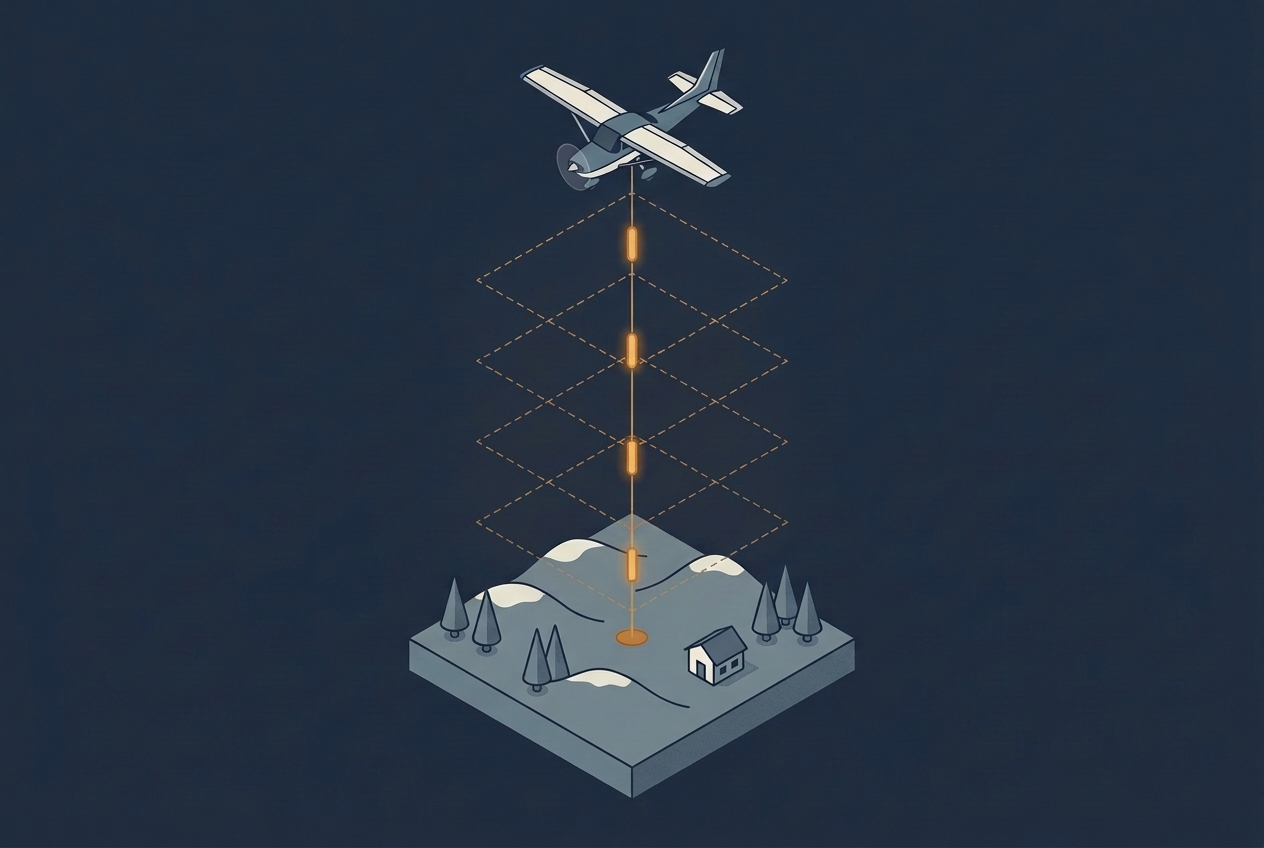
Pulse Repetition Frequency
Pulse repetition frequency sets how many points a LiDAR survey can collect, but a higher rate costs energy in every pulse and runs into the travel time of light. This article explains the trade-off and how multiple pulses in the air work around it.
-
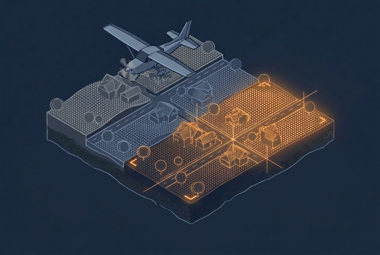
LiDAR Calibration and Strip Adjustment
Overlapping LiDAR strips rarely line up on their own. This article explains where the offsets come from, how project calibration and strip adjustment remove them, and what to ask about both when you evaluate a dataset.
-
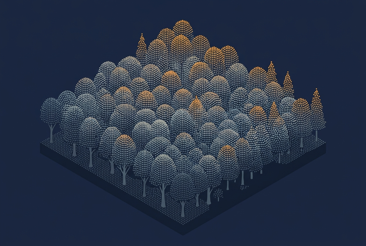
Watching Point Clouds Grow
Every year, aerial survey contractors fly LiDAR sensors over three and a half to four million hectares, part of a six-year cycle that eventually covers every corner of the country. That is a lot of area to scan. When I mention this to friends and colleagues, they often wonder what could possibly make it worth…
-
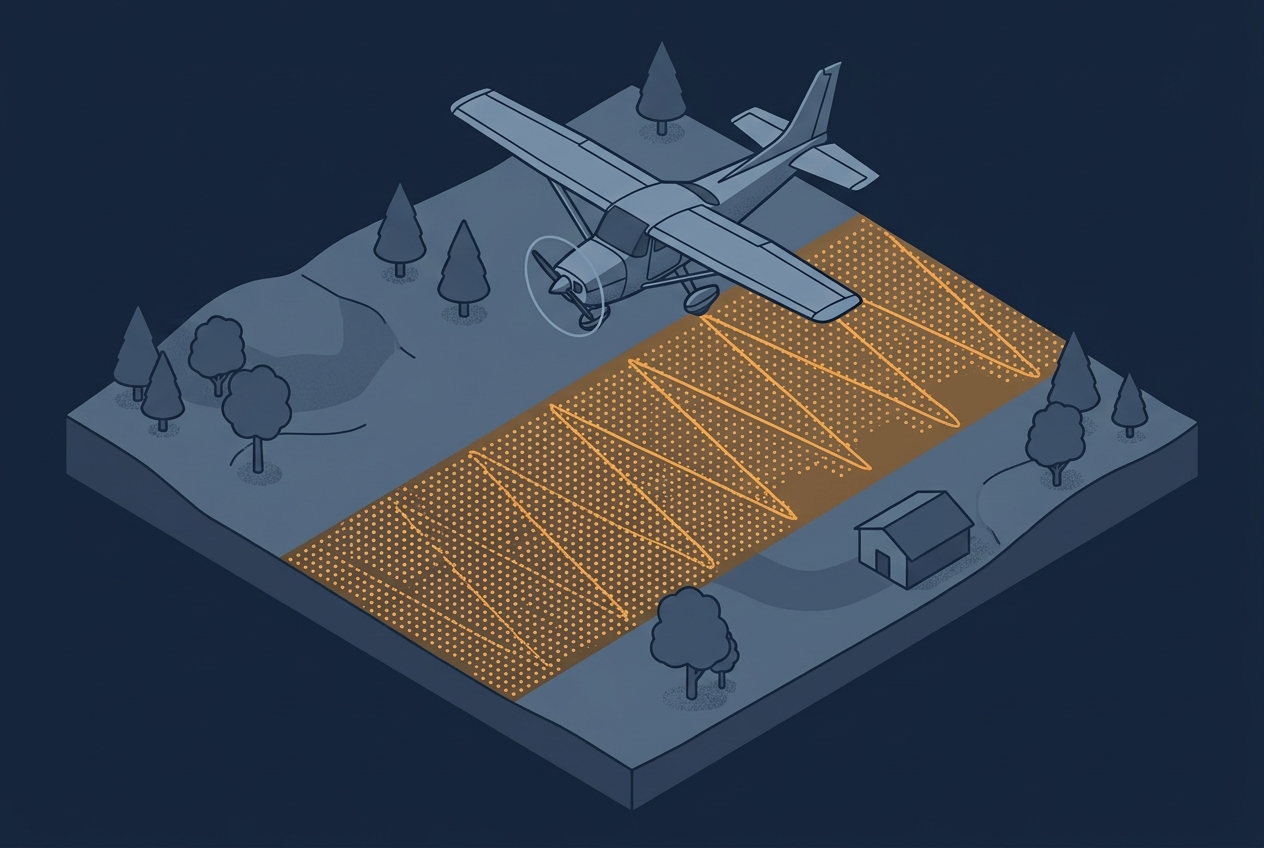
Understanding Scan Patterns
A project specification usually calls out a single number: 8 points per square meter, maybe 20 or even more. That number becomes the thing everyone plans around, quotes against, and checks in QA. Sometimes the spec is written as an average across the project area, sometimes as a minimum that has to be achieved in…
-
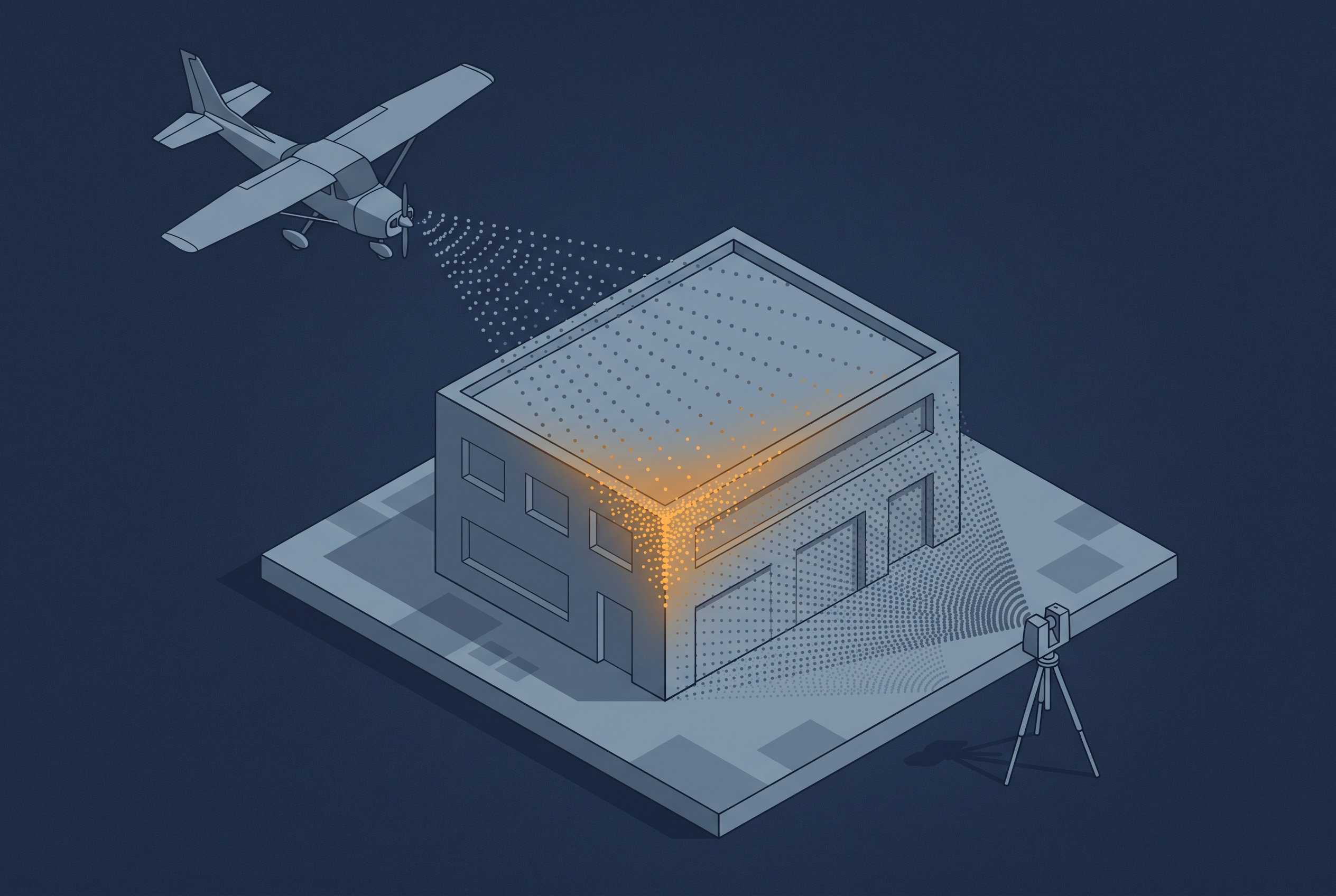
Combining Different Data Sources
A drone can see a rooftop that a tripod-mounted scanner never will, and a terrestrial scanner can resolve a facade at a precision no aerial platform can match. That is one reason people combine sensor sources. The other reason is just as important: LiDAR and imagery do not capture the same information about a surface…
-

A Closer Look at LAS Formats
LAS is the dominant format for storing lidar point clouds maintained as an open standard by the OGC. Like most formats that have been around long enough, it has meanwhile accumulated versions. The version number on a LAS file is not just a timestamp – it tells you what the file can and cannot represent.…
-

Blog Series: Parameters of Airborne LiDAR Survey
Follow this growing series of blog articles that breaks down the key parameters behind airborne LiDAR and explores how they connect and influence each other, shaping every survey.
-
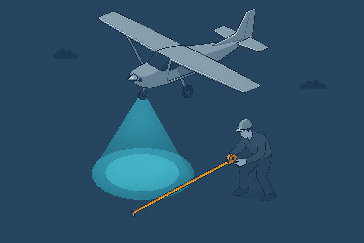
LiDAR Footprint Diameter
LiDAR points and pulses seem straightforward, but the returning signal represents far more. It reflects how the pulse interacts with objects within its footprint, and understanding that interaction is key to interpreting your results.
-

Point Density and Point Spacing
Point density feels obvious, yet the way LiDAR samples objects shapes what your data can support. Subtle gaps or clusters can change how you read the scene, or mean that smaller objects go unnoticed altogether.